Fájl:Europe location WAL2.png

Az előnézet mérete: 800 × 600 képpont További felbontások: 320 × 240 képpont | 640 × 480 képpont | 1 024 × 768 képpont | 1 280 × 960 képpont | 1 600 × 1 200 képpont.
Eredeti fájl (1 600 × 1 200 képpont, fájlméret: 803 KB, MIME-típus: image/png)
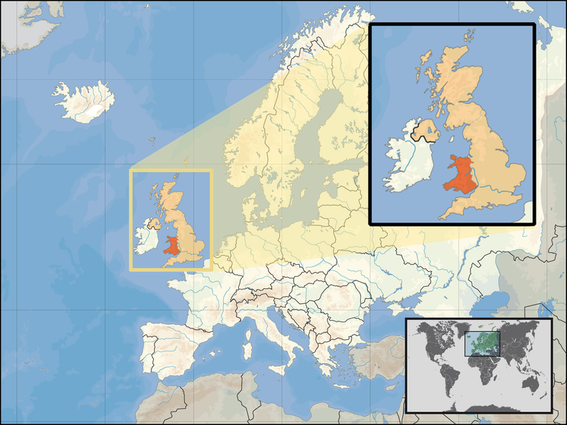
| Leírás | Location of Wales in the UK and Europe, on terrain map showing surface and underwater contour areas. | |||
| Dátum | ||||
| Forrás | Derived from Wikimedia Commons image of original work forming part of the "Europe location" map series created by David Liuzzo: derived from Image:Europe_location_WAL.png. | |||
| Szerző | uploaded by User:Kmusser (excerpt from User:David_Liuzzo) | |||
| Engedély (Fájl újrafelhasználása) |
|
|||
| Más változatok |
|


Fájltörténet
Kattints egy időpontra, hogy a fájl akkori állapotát láthasd.
| Dátum/idő | Bélyegkép | Felbontás | Feltöltő | Megjegyzés | |
|---|---|---|---|---|---|
| aktuális | 2008. szeptember 24., 19:20 | | 1 600 × 1 200 (803 KB) | Kmusser | {{Information |Description= Location of Wales in the UK and Europe, on terrain map showing surface and underwater contour areas. |Source=Derived from Wikimedia Commons image of original work forming part of the "Europe location" map series cre |
Fájlhasználat
Ezt a fájlt nem használja egyetlen lap sem.
Globális fájlhasználat
A következő wikik használják ezt a fájlt:
- Használata itt: an.wikipedia.org
- Használata itt: ar.wikipedia.org
- Használata itt: az.wiktionary.org
- Használata itt: el.wikivoyage.org
- Használata itt: en.wikipedia.org
- Használata itt: eu.wiktionary.org
- Használata itt: fo.wikipedia.org
- Használata itt: gag.wikipedia.org
- Használata itt: gom.wikipedia.org
- Használata itt: gv.wikipedia.org
- Használata itt: id.wikibooks.org
- Használata itt: incubator.wikimedia.org
- Használata itt: kaa.wikipedia.org
- Használata itt: kn.wikipedia.org
- Használata itt: la.wikipedia.org
- Használata itt: mr.wikipedia.org
- Használata itt: my.wikipedia.org
- Használata itt: nds-nl.wikipedia.org
- Használata itt: pl.wikipedia.org
- Használata itt: pl.wikivoyage.org
- Használata itt: pl.wiktionary.org
- Használata itt: pnb.wikipedia.org
- Használata itt: ru.wiktionary.org
- Használata itt: su.wikipedia.org
- Használata itt: ug.wikipedia.org
- Használata itt: war.wikipedia.org
- Használata itt: yo.wikipedia.org
- Használata itt: zu.wikipedia.org